
Crumtown topographic map
Interactive map
Click on the map to display elevation.
About this map
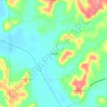
Name: Crumtown topographic map, elevation, terrain.
Location: Crumtown, Alcorn County, Mississippi, United States (34.81926 -88.75339 34.85926 -88.71339)
Average elevation: 149 m
Minimum elevation: 119 m
Maximum elevation: 212 m