
Mandaduwa topographic map
Interactive map
Click on the map to display elevation.
About this map
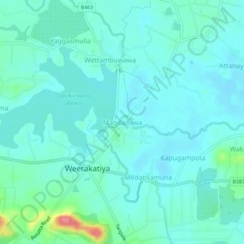
Name: Mandaduwa topographic map, elevation, terrain.
Location: Mandaduwa, Hambantota District, Southern Province, Sri Lanka (6.13513 80.74911 6.17513 80.78911)
Average elevation: 45 m
Minimum elevation: 29 m
Maximum elevation: 123 m