
Meade County topographic map
Interactive map
Click on the map to display elevation.
About this map
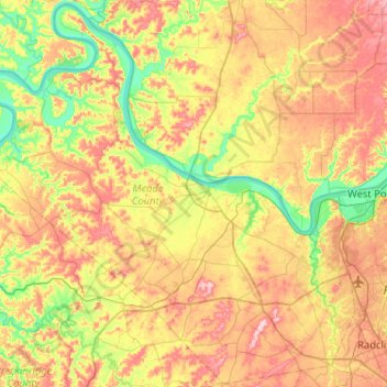
Name: Meade County topographic map, elevation, terrain.
Location: Meade County, Kentucky, United States (37.79884 -86.49068 38.19673 -85.97594)
Average elevation: 199 m
Minimum elevation: 114 m
Maximum elevation: 306 m