
Franklin County topographic map
Interactive map
Click on the map to display elevation.
About this map
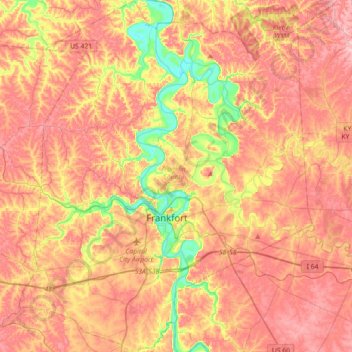
Name: Franklin County topographic map, elevation, terrain.
Location: Franklin County, Kentucky, United States (38.09344 -85.02371 38.37485 -84.72517)
Average elevation: 235 m
Minimum elevation: 141 m
Maximum elevation: 298 m
Other topographic maps
Click on a map to view its topography, its elevation and its terrain.
Frankfort
United States > Kentucky > Franklin County
Frankfort, Franklin County, Kentucky, United States
Average elevation: 216 m