
Castle Rock topographic map
Interactive map
Click on the map to display elevation.
About this map
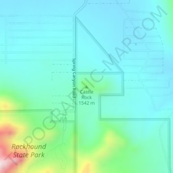
Name: Castle Rock topographic map, elevation, terrain.
Location: Castle Rock, Luna County, New Mexico, United States (32.15643 -107.61369 32.15653 -107.61359)
Average elevation: 1,466 m
Minimum elevation: 1,376 m
Maximum elevation: 1,866 m