
Noxubee County topographic map
Interactive map
Click on the map to display elevation.
About this map
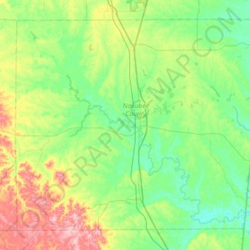
Name: Noxubee County topographic map, elevation, terrain.
Location: Noxubee County, Mississippi, United States (32.92612 -88.81617 33.28827 -88.30484)
Average elevation: 76 m
Minimum elevation: 35 m
Maximum elevation: 191 m