
Toledo topographic map
Interactive map
Click on the map to display elevation.
About this map
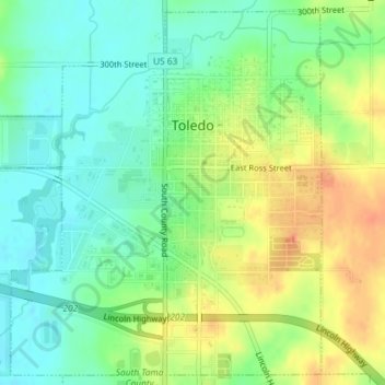
Name: Toledo topographic map, elevation, terrain.
Location: Toledo, Tama County, Iowa, United States (41.97829 -92.59999 42.00388 -92.56687)
Average elevation: 269 m
Minimum elevation: 249 m
Maximum elevation: 298 m