
Richmond topographic map
Interactive map
Click on the map to display elevation.
About this map
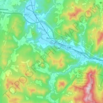
Name: Richmond topographic map, elevation, terrain.
Location: Richmond, Chittenden County, Vermont, 05477, United States (44.34543 -73.08143 44.43447 -72.91874)
Average elevation: 262 m
Minimum elevation: 86 m
Maximum elevation: 696 m