
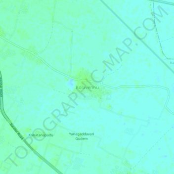
Kolavennu topographic map
Interactive map
Click on the map to display elevation.
About this map
Name: Kolavennu topographic map, elevation, terrain.
Location: Kolavennu, Kankipadu, Krishna, Andhra Pradesh, 521151, India (16.41199 80.77507 16.45199 80.81507)
Average elevation: 13 m
Minimum elevation: 10 m
Maximum elevation: 17 m