
Bogalusa topographic map
Interactive map
Click on the map to display elevation.
About this map
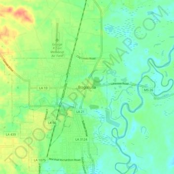
Name: Bogalusa topographic map, elevation, terrain.
Location: Bogalusa, Washington Parish, Louisiana, 70427, United States (30.75102 -89.88869 30.83102 -89.80869)
Average elevation: 30 m
Minimum elevation: 14 m
Maximum elevation: 61 m
Other topographic maps
Click on a map to view its topography, its elevation and its terrain.
Cassidy Park
United States > Louisiana > Washington Parish > Bogalusa
Cassidy Park, Bogalusa, Washington Parish, Louisiana, United States
Average elevation: 34 m