
Rockingham topographic map
Interactive map
Click on the map to display elevation.
About this map
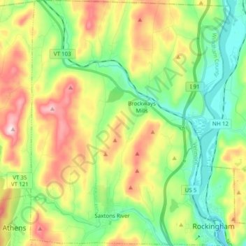
Name: Rockingham topographic map, elevation, terrain.
Location: Rockingham, Windham County, Vermont, United States (43.12503 -72.55798 43.23590 -72.43427)
Average elevation: 227 m
Minimum elevation: 66 m
Maximum elevation: 493 m
Other topographic maps
Click on a map to view its topography, its elevation and its terrain.
Bellows Falls
United States > Vermont > Windham County > Rockingham > Bellows Falls
Bellows Falls, Rockingham, Windham County, Vermont, 05101, United States
Average elevation: 161 m