
Lake City topographic map
Interactive map
Click on the map to display elevation.
About this map
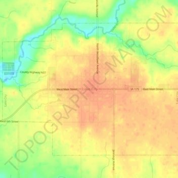
Name: Lake City topographic map, elevation, terrain.
Location: Lake City, Calhoun County, Iowa, 51449, United States (42.25282 -94.75968 42.28187 -94.70695)
Average elevation: 367 m
Minimum elevation: 339 m
Maximum elevation: 381 m