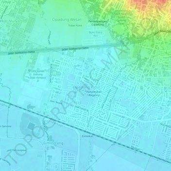
Kel. Cipadung Kidul topographic map
Interactive map
Click on the map to display elevation.
About this map
Name: Kel. Cipadung Kidul topographic map, elevation, terrain.
Average elevation: 671 m
Minimum elevation: 662 m
Maximum elevation: 713 m

Click on the map to display elevation.
Name: Kel. Cipadung Kidul topographic map, elevation, terrain.
Average elevation: 671 m
Minimum elevation: 662 m
Maximum elevation: 713 m