
Haworth, Cross Roads and Stanbury topographic map
Interactive map
Click on the map to display elevation.
About this map
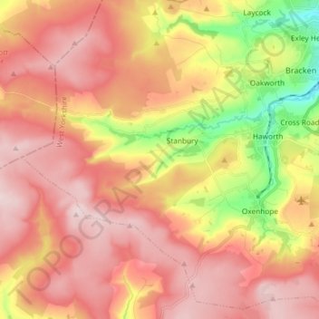
Name: Haworth, Cross Roads and Stanbury topographic map, elevation, terrain.
Average elevation: 332 m
Minimum elevation: 133 m
Maximum elevation: 462 m