
Shrewsbury topographic map
Interactive map
Click on the map to display elevation.
About this map
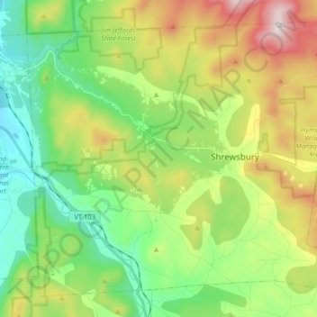
Name: Shrewsbury topographic map, elevation, terrain.
Location: Shrewsbury, Rutland County, Vermont, 05738, United States (43.47770 -72.93416 43.57976 -72.77254)
Average elevation: 522 m
Minimum elevation: 203 m
Maximum elevation: 1,119 m