
Kolebira topographic map
Interactive map
Click on the map to display elevation.
About this map
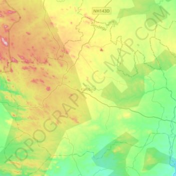
Name: Kolebira topographic map, elevation, terrain.
Location: Kolebira, Simdega, Jharkhand, 835211, India (22.58271 84.59287 22.80142 84.88599)
Average elevation: 529 m
Minimum elevation: 356 m
Maximum elevation: 840 m