
Mahuda topographic map
Interactive map
Click on the map to display elevation.
About this map
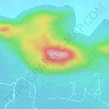
Name: Mahuda topographic map, elevation, terrain.
Location: Mahuda, Katkamsandi, Hazaribagh, Jharkhand, India (24.19306 85.19601 24.19316 85.19611)
Average elevation: 509 m
Minimum elevation: 444 m
Maximum elevation: 717 m