
Lawson topographic map
Interactive map
Click on the map to display elevation.
About this map
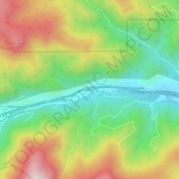
Name: Lawson topographic map, elevation, terrain.
Location: Lawson, Clear Creek County, Colorado, 80436, United States (39.74579 -105.64745 39.78579 -105.60745)
Average elevation: 2,766 m
Minimum elevation: 2,421 m
Maximum elevation: 3,251 m