
Longford topographic map
Interactive map
Click on the map to display elevation.
About this map
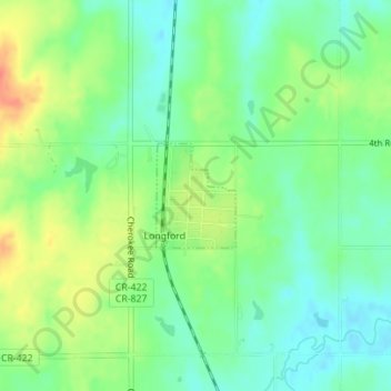
Name: Longford topographic map, elevation, terrain.
Location: Longford, Clay County, Kansas, United States (39.16915 -97.33216 39.17639 -97.32509)
Average elevation: 407 m
Minimum elevation: 386 m
Maximum elevation: 439 m