
Anjarle topographic map
Interactive map
Click on the map to display elevation.
About this map
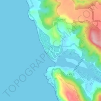
Name: Anjarle topographic map, elevation, terrain.
Location: Anjarle, Dapoli Taluka, Ratnagiri, 415714, India (17.82758 73.07028 17.86758 73.11028)
Average elevation: 37 m
Minimum elevation: 0 m
Maximum elevation: 188 m