
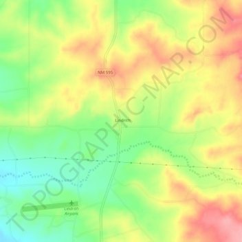
Lindrith topographic map
Interactive map
Click on the map to display elevation.
About this map
Name: Lindrith topographic map, elevation, terrain.
Location: Lindrith, Rio Arriba County, New Mexico, United States (36.28446 -107.06504 36.32446 -107.02504)
Average elevation: 2,211 m
Minimum elevation: 2,157 m
Maximum elevation: 2,265 m