
Iola topographic map
Interactive map
Click on the map to display elevation.
About this map
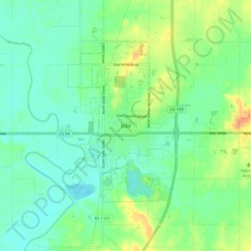
Name: Iola topographic map, elevation, terrain.
Location: Iola, Allen County, Kansas, 66749, United States (37.88448 -95.43998 37.96448 -95.35998)
Average elevation: 297 m
Minimum elevation: 283 m
Maximum elevation: 327 m