
Lake Ashton topographic map
Interactive map
Click on the map to display elevation.
About this map
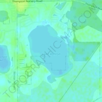
Name: Lake Ashton topographic map, elevation, terrain.
Location: Lake Ashton, Lake Wales, Polk County, Florida, United States (27.93879 -81.65782 27.95575 -81.64370)
Average elevation: 37 m
Minimum elevation: 33 m
Maximum elevation: 46 m