
Chester topographic map
Interactive map
Click on the map to display elevation.
About this map
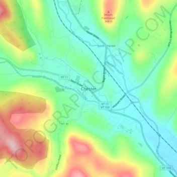
Name: Chester topographic map, elevation, terrain.
Location: Chester, Windsor County, Vermont, 05143, United States (43.24297 -72.61456 43.28297 -72.57456)
Average elevation: 237 m
Minimum elevation: 156 m
Maximum elevation: 378 m