
White River Junction topographic map
Interactive map
Click on the map to display elevation.
About this map
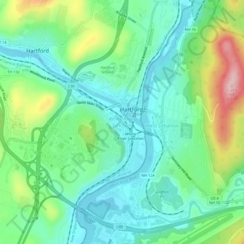
Name: White River Junction topographic map, elevation, terrain.
Average elevation: 160 m
Minimum elevation: 94 m
Maximum elevation: 322 m
Other topographic maps
Click on a map to view its topography, its elevation and its terrain.
Quechee
United States > Vermont > Windsor County > Hartford
Quechee, Hartford, Windsor County, Vermont, 05059, United States
Average elevation: 231 m