
South Windsor topographic map
Interactive map
Click on the map to display elevation.
About this map
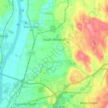
Name: South Windsor topographic map, elevation, terrain.
Location: South Windsor, Hartford County, Connecticut, United States (41.79801 -72.64629 41.86991 -72.49681)
Average elevation: 42 m
Minimum elevation: 0 m
Maximum elevation: 133 m