
Pakke/Pakhui WLS/Tiger Reserve topographic map
Interactive map
Click on the map to display elevation.
About this map
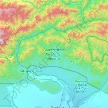
Name: Pakke/Pakhui WLS/Tiger Reserve topographic map, elevation, terrain.
Average elevation: 636 m
Minimum elevation: 76 m
Maximum elevation: 2,845 m