
Starksboro topographic map
Interactive map
Click on the map to display elevation.
About this map
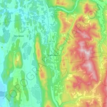
Name: Starksboro topographic map, elevation, terrain.
Location: Starksboro, Addison County, Vermont, 05487, United States (44.15515 -73.08493 44.30374 -72.95220)
Average elevation: 298 m
Minimum elevation: 77 m
Maximum elevation: 750 m