
Houston topographic map
Interactive map
Click on the map to display elevation.
About this map
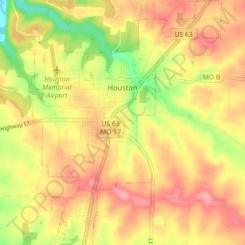
Name: Houston topographic map, elevation, terrain.
Location: Houston, Texas County, Missouri, 65483, United States (37.29451 -91.97944 37.34376 -91.93094)
Average elevation: 361 m
Minimum elevation: 301 m
Maximum elevation: 402 m