
Banlung topographic map
Interactive map
Click on the map to display elevation.
About this map
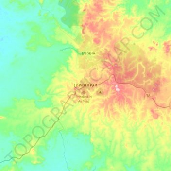
Name: Banlung topographic map, elevation, terrain.
Location: Banlung, Ratanakiri, 1600, Cambodia (13.58148 106.82737 13.90148 107.14737)
Average elevation: 220 m
Minimum elevation: 92 m
Maximum elevation: 503 m