
Cockfield topographic map
Interactive map
Click on the map to display elevation.
About this map
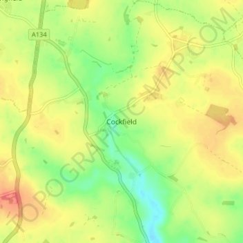
Name: Cockfield topographic map, elevation, terrain.
Average elevation: 85 m
Minimum elevation: 59 m
Maximum elevation: 107 m
Other topographic maps
Click on a map to view its topography, its elevation and its terrain.
Cockfield
United Kingdom > England > Cockfield
Cockfield, County Durham, North East England, England, DL13 5DR, United Kingdom
Average elevation: 197 m