
Saanichton Green topographic map
Interactive map
Click on the map to display elevation.
About this map
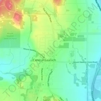
Name: Saanichton Green topographic map, elevation, terrain.
Average elevation: 53 m
Minimum elevation: 11 m
Maximum elevation: 137 m
Other topographic maps
Click on a map to view its topography, its elevation and its terrain.
Saanich Peninsula
Canada > British Columbia > Central Saanich
Saanich Peninsula, White Road, Central Saanich, Capital Regional District, British Columbia, V8M 1Y4, Canada
Average elevation: 49 m