
Smarden topographic map
Interactive map
Click on the map to display elevation.
About this map
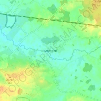
Name: Smarden topographic map, elevation, terrain.
Location: Smarden, Kent, South East, England, TN27 8QD, United Kingdom (51.12893 0.66672 51.16893 0.70672)
Average elevation: 30 m
Minimum elevation: 19 m
Maximum elevation: 48 m