
Sheerness topographic map
Interactive map
Click on the map to display elevation.
About this map
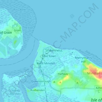
Name: Sheerness topographic map, elevation, terrain.
Location: Sheerness, Kent, South East, England, ME12 1QF, United Kingdom (51.39917 0.71857 51.47917 0.79857)
Average elevation: 3 m
Minimum elevation: -5 m
Maximum elevation: 64 m