
Aluthgama topographic map
Interactive map
Click on the map to display elevation.
About this map
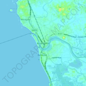
Name: Aluthgama topographic map, elevation, terrain.
Average elevation: 3 m
Minimum elevation: -3 m
Maximum elevation: 34 m
Other topographic maps
Click on a map to view its topography, its elevation and its terrain.
Beruwala
Sri Lanka > Western Province > Beruwala DS Division
Beruwala, Beruwala DS Division, Kalutara District, Western Province, 12070, Sri Lanka
Average elevation: 5 m