
Otero de Herreros topographic map
Interactive map
Click on the map to display elevation.
About this map
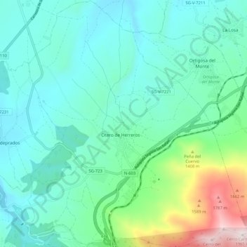
Name: Otero de Herreros topographic map, elevation, terrain.
Location: Otero de Herreros, Segovia, Castilla y León, España (40.78437 -4.24915 40.86256 -4.15572)
Average elevation: 1,161 m
Minimum elevation: 959 m
Maximum elevation: 1,960 m