
Conway topographic map
Interactive map
Click on the map to display elevation.
About this map
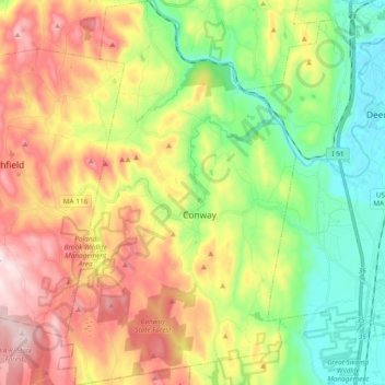
Name: Conway topographic map, elevation, terrain.
Location: Conway, Franklin County, Massachusetts, 01341, United States (42.44588 -72.76594 42.58549 -72.64874)
Average elevation: 238 m
Minimum elevation: 31 m
Maximum elevation: 520 m