
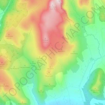
Mourne Mountains West topographic map
Interactive map
Click on the map to display elevation.
About this map
Name: Mourne Mountains West topographic map, elevation, terrain.
Average elevation: 272 m
Minimum elevation: 30 m
Maximum elevation: 633 m
Northern Ireland trails, hiking, mountain biking, running and outdoor activities
Other topographic maps
Click on a map to view its topography, its elevation and its terrain.