
Plano topographic map
Interactive map
Click on the map to display elevation.
About this map
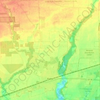
Name: Plano topographic map, elevation, terrain.
Average elevation: 202 m
Minimum elevation: 176 m
Maximum elevation: 221 m
Other topographic maps
Click on a map to view its topography, its elevation and its terrain.
Yorkville
United States > Illinois > Kendall County
Yorkville, Kendall Township, Kendall County, Illinois, United States
Average elevation: 203 m
Oswego
United States > Illinois > Kendall County
Oswego, Oswego Township, Kendall County, Illinois, 60543, United States
Average elevation: 203 m