
Matanuska Glacier topographic map
Interactive map
Click on the map to display elevation.
About this map
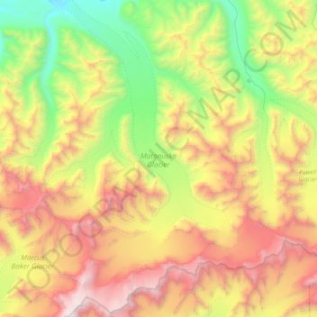
Name: Matanuska Glacier topographic map, elevation, terrain.
Location: Matanuska Glacier, Matanuska-Susitna, Alaska, USA (61.43476 -147.76147 61.77775 -147.37039)
Average elevation: 1,819 m
Minimum elevation: 474 m
Maximum elevation: 3,974 m
Other topographic maps
Click on a map to view its topography, its elevation and its terrain.