
Sfântu Gheorghe topographic map
Interactive map
Click on the map to display elevation.
About this map
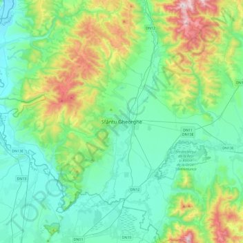
Name: Sfântu Gheorghe topographic map, elevation, terrain.
Location: Sfântu Gheorghe, Covasna, 520055, Romania (45.70599 25.62654 46.02599 25.94654)
Average elevation: 634 m
Minimum elevation: 463 m
Maximum elevation: 1,212 m