
Great Seal State Park topographic map
Interactive map
Click on the map to display elevation.
About this map
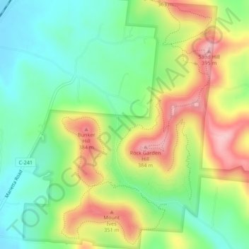
Name: Great Seal State Park topographic map, elevation, terrain.
Location: Great Seal State Park, Metzger, Ross County, Ohio, USA (39.35975 -82.95779 39.39150 -82.91893)
Average elevation: 283 m
Minimum elevation: 208 m
Maximum elevation: 392 m