
Cypress Falls Park topographic map
Interactive map
Click on the map to display elevation.
About this map
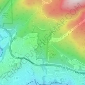
Name: Cypress Falls Park topographic map, elevation, terrain.
Average elevation: 272 m
Minimum elevation: 34 m
Maximum elevation: 741 m
Other topographic maps
Click on a map to view its topography, its elevation and its terrain.
Capilano Lake
Canada > British Columbia > West Vancouver
Capilano Lake, Glenmore Drive, Canyon Heights, West Vancouver, Metro Vancouver Regional District, British Columbia, V7R 4K3, Canada
Average elevation: 353 m