
Ouled Fayet topographic map
Interactive map
Click on the map to display elevation.
About this map
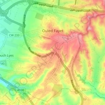
Name: Ouled Fayet topographic map, elevation, terrain.
Location: Ouled Fayet, Cheraga District, Algiers, Algeria (36.70195 2.91168 36.74829 2.97358)
Average elevation: 182 m
Minimum elevation: 106 m
Maximum elevation: 262 m