
Black Forest topographic map
Interactive map
Click on the map to display elevation.
About this map
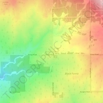
Name: Black Forest topographic map, elevation, terrain.
Location: Black Forest, El Paso County, Colorado, 80908, USA (38.99400 -104.72114 39.03400 -104.68114)
Average elevation: 2,253 m
Minimum elevation: 2,154 m
Maximum elevation: 2,347 m