
Rakiraki topographic map
Interactive map
Click on the map to display elevation.
About this map
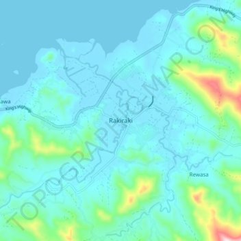
Name: Rakiraki topographic map, elevation, terrain.
Location: Rakiraki, Western, Fiji (-17.41807 178.11310 -17.33807 178.19310)
Average elevation: 60 m
Minimum elevation: 0 m
Maximum elevation: 436 m