
Nabisar topographic map
Interactive map
Click on the map to display elevation.
About this map
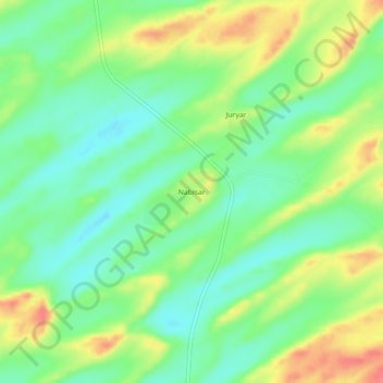
Name: Nabisar topographic map, elevation, terrain.
Location: Nabisar, Mithi, Tharparkar District, Sindh, 69230, Pakistan (24.73601 69.52784 24.77601 69.56784)
Average elevation: 42 m
Minimum elevation: 15 m
Maximum elevation: 81 m