
Nakla topographic map
Interactive map
Click on the map to display elevation.
About this map
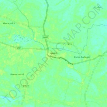
Name: Nakla topographic map, elevation, terrain.
Location: Nakla, Sherpur District, Mymensingh Division, Bangladesh (24.92922 90.14332 25.00922 90.22332)
Average elevation: 16 m
Minimum elevation: 10 m
Maximum elevation: 22 m