
Gança topographic map
Interactive map
Click on the map to display elevation.
About this map
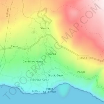
Name: Gança topographic map, elevation, terrain.
Location: Gança, Ribeira Seca, Calheta, Azores, Portugal (38.60047 -27.97857 38.60933 -27.97193)
Average elevation: 271 m
Minimum elevation: 0 m
Maximum elevation: 631 m