
Grapperhausen topographic map
Interactive map
Click on the map to display elevation.
About this map
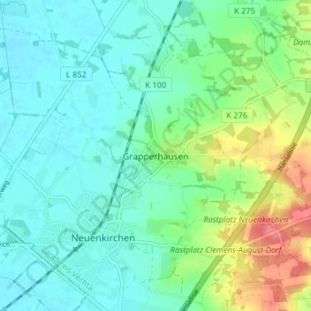
Name: Grapperhausen topographic map, elevation, terrain.
Location: Grapperhausen, Vechta district, Lower Saxony, 49434, Germany (52.50037 8.05644 52.54037 8.09644)
Average elevation: 55 m
Minimum elevation: 35 m
Maximum elevation: 109 m